使用期限年许可
许可形式单机
原产地加拿大
介质下载版
适用平台Windows和Linux
HydroGeoSphere是世界上受众比较广泛的地下水建模软件。
ADVANCED NUMERICAL METHODS
Fully-implicit coupling approach for all domains provides for a robust, mass conserved solution scheme.

Fluid and solute mass balance tracking.

HydroGeoSphere RealTime (HGSRT) provides fully integrated hydrologic modeling as a service. Aquanty can deliver a near-real-time representation of your organization’s site or watershed to your userbase, side-by-side with IOT monitoring and remote sensing data to give you an eye on your land and infrastructure, anywhere in the world. With HGS at its core, HGSRT provides a cost-effective all-in-one SAAS solution to help you exceed your compliance, research, and operations requirements.

功能特点
地表水和地下水建模
• 地表域表示为二维地表流。
• 地下水域由3-D可变饱和流组成。
• 地表/地下域通过基于物理的流体交换相互作用。
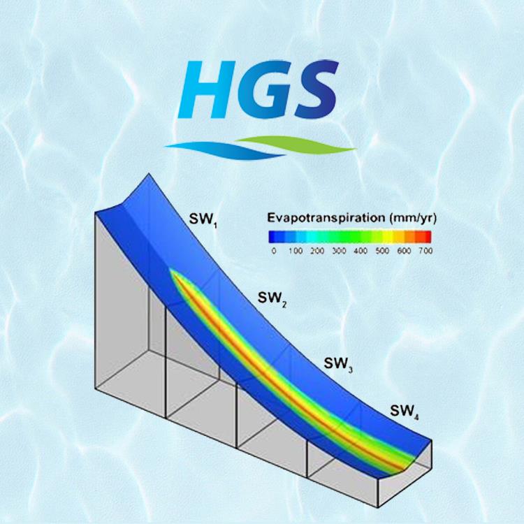
• 基于土地利用的时空变化蒸散量。
• 融雪对水文状况的影响。
• 准确描绘和跟踪地下水位位置。
• 处理非积水或规定的积水补给条 件和渗流面。
• 用地下多孔、离散裂缝、双重孔隙和双重渗透介质的任意组合表示裂缝性地质材料。
• 调节储存、溶质混合和沿井筒的可变流量分布。
• 密度相关的流动和运移。
如果您对HydroGeoSphere软件感兴趣,欢迎联系科学软件网,我们随时恭候您的联系。
http://www.kxrjsoft.cn